

How to choose a Maps & navigation APK
Check the app name, package name, latest version, file size, update date, source notes, SHA-256, and whether the download page includes clear safety context.
Browse Maps & navigation APKs for Android with latest versions, file sizes, package details, scan notes, and verified download links.

Rainbow Tracker is a GPS tracking app for Android that gives authorized users a focused way to access Rainbow GPS services. The opening workflow centers on a username and password form, with a Remember Password option for returning users and a Forgot Password link for account recovery. Its Rainbow GPS branding and navigation-focused purpose suit people who need to check a connected tracking service rather than browse a general-purpose map. A simple login page keeps the first action clear, while the app's compact design makes credentialed access straightforward on supported Android devices.
10.0

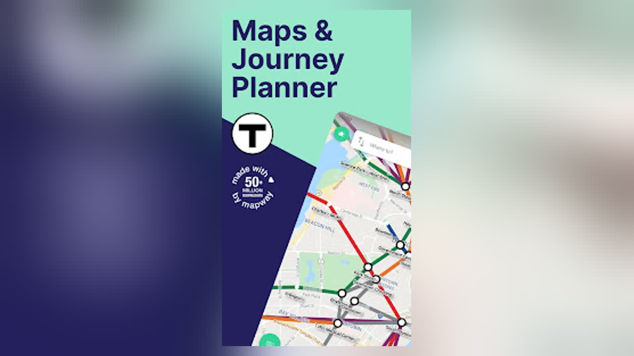
Boston T Map & Routing is a transit navigation app for commuters and visitors using Boston’s MBTA subway network. It combines a clear interactive T map with route planning, station train times, and step-by-step journey guidance, helping riders understand where to board, change lines, and leave the system. Users can look up nearby stations, save useful locations, and review fares or travel information before heading out. The standalone Boston app also directs users toward Mapway’s broader multi-city service, making it useful for people who want Boston-focused planning while preparing for that transition.
10.0

Waymo is an autonomous ride-hailing app for requesting driverless trips in supported service areas. Riders can enter a destination, choose a pickup point, review trip details, and request a car for an immediate journey or a scheduled pickup. The app also helps riders reach and unlock the arriving vehicle, share live arrival information, and manage practical ride choices such as temperature and music. Multi-stop planning supports up to four destinations, while the in-car screen connects riders with the start-ride flow and Rider Support. It suits people seeking private, app-managed transportation with flexible trip planning.
9.9

INDOT Trafficwise is a statewide traffic and traveler information app for people moving around Indiana. It brings incidents, construction activity, closures, traffic speeds, camera views, snowplow locations, weather information, and commercial-vehicle restrictions into one map-centered experience. Drivers can zoom into events, switch map layers, review the legend, and open nearby camera views before a trip. A My INDOT account adds saved routes, areas, favorite cameras, and email or text alerts for a more personal setup. With hands-free audio notifications for traffic events, it helps commuters, travelers, and commercial drivers plan with clearer road information.
9.9

ViaMichelin GPS, Maps, Traffic is a navigation and travel-planning app for drivers, cyclists, motorcyclists, and walkers who want more context than a basic route line. It calculates journeys, compares route options, estimates trip costs, and guides users with Michelin maps, traffic information, and voice directions. Along the way, travelers can find restaurants, hotels, tourist sites, fuel stations, charging points, parking, and MICHELIN Guide selections. Saved routes, travel ideas, event updates, and vehicle details help turn one-off directions into a more organized road-trip toolkit.
9.9

Latitude Longitude Finder is a GPS and mapping utility for travelers, geocachers, field workers, and anyone who needs precise location data on Android. It turns a current position or selected map point into latitude, longitude, DMS coordinates, Plus Codes, nearby addresses, and altitude details. Users can search places, drop markers, measure distance or area, save frequently used locations, and share results as text or map links. Map styles, a compass view, coordinate paste tools, and KML, GPX, or CSV exchange make it useful for both quick checks and planned field work.
9.9
Waymo is an autonomous ride-hailing app for requesting driverless trips in supported service areas. Riders can enter a destination, choose a pickup point, review trip details, and request a car for an immediate journey or a scheduled pickup. The app also helps riders reach and unlock the arriving vehicle, share live arrival information, and manage practical ride choices such as temperature and music. Multi-stop planning supports up to four destinations, while the in-car screen connects riders with the start-ride flow and Rider Support. It suits people seeking private, app-managed transportation with flexible trip planning.
9.9

Watch Duty (Wildfire) is a real-time disaster awareness app for residents, families, travelers, and anyone keeping an eye on nearby wildfire or flood conditions. Its map brings active incidents, fire perimeters, satellite hotspots, weather context, evacuation information, and shelter details into one place. Users can search locations, save places, follow counties, and manage notifications for updates that matter locally. The service combines public data with reports reviewed by trained responders and journalists, helping people move from a broad regional picture to clearer, practical information when conditions change.
9.4

CarShare is a membership-based car-sharing app for arranging short-term access to Enterprise vehicles. It helps approved members find nearby cars, reserve them by the hour or day, and manage a trip from pickup through return. The service supports reservation changes, cancellations, extensions, and current or upcoming booking views, while the app also provides a way to send fuel receipts and contact member support. With location-based vehicle discovery and a simple account workflow, CarShare suits business travel, campus needs, and everyday errands when owning a car is unnecessary.
9.6

onX Offroad is a GPS navigation and trail-mapping app for riders taking 4x4s, side-by-sides, ATVs, dirt bikes, overlanding vehicles, and snowmobiles beyond paved roads. It helps users discover motorized trails, inspect difficulty and access details, plan routes, and follow turn-by-turn guidance with compatible vehicle displays. Offline Maps preserve trail and land information when mobile coverage fades, while Go & Track records distance, speed, elevation, and location. Waypoints, recreation points, property layers, cell-coverage views, and Location Sharing give individuals and groups a clearer plan for remote trips.
8.0

what3words: Navigation & Maps is a location tool that turns precise places into short three-word addresses. Use it to identify a meeting point, trail entrance, delivery bay, roadside location, or memorable spot when a street address is too broad. The app helps you find a current address, search for a three-word location, share it with others, save places in organized lists, and open directions in a compatible map app. Offline address lookup and Compass mode make it useful for travel, outdoor trips, everyday navigation, and situations where clear location sharing matters.
8.9

Visalia Transit is an Android transit companion for riders using the fixed-route service in Visalia, California. It places route lines, stop markers, and live vehicle locations on a map so you can understand the network before leaving home. The app also lets you browse named stops, view bus location-based arrival estimates, and check route schedules through a clear bottom navigation bar. Location access can help center the map around you, while arrival notifications provide a more convenient reminder for everyday trips. It is most useful when you need current information for a journey on the Visalia Transit network.
7.3

MAPS.ME is an Android maps and navigation app for travelers, commuters, and anyone planning a journey. It lets you explore a world map, search for places, download map areas, and plan driving, walking, or cycling routes. Travel guides add descriptions and photos for cities and points of interest, while bookmarks help keep favorite locations close at hand. You can also share a position or record an activity when a journey becomes part of the trip. The result is a practical way to prepare routes and keep exploring with less reliance on mobile data.
9.6

Amap Global is a navigation and travel app for visitors and residents who need a clearer way to move through Chinese cities. It combines a global map with location search, route planning, transit and taxi options, and nearby food or attraction discovery. Travel preparation tools add arrival guidance, customs and internet-access tips, hotel routes, bilingual help cards, emergency contacts, and local culture suggestions. English-oriented travel information and practical map context make it useful for planning a trip, finding a place, or choosing a route once you are on the move.
7.6

Poot is a location-aware restroom discovery app for travelers, commuters, parents, and anyone who needs a dependable bathroom stop away from home. It helps users find nearby public restrooms, compare community ratings, and consider details such as cleanliness, accessibility, amenities, and availability before choosing a place. People can rate and review facilities, add missing locations, and record visits with personal notes. Favorites, history, badges, and achievements give repeat users useful memory and motivation to contribute. The result is a practical way to make urgent searches and everyday travel planning less uncertain.
7.5

RecovR: Vehicle Theft Recovery is a connected vehicle-locator app for car owners who use a RecovR locator supplied through a dealer. It helps you find a parked vehicle, check whether a vehicle may have been towed, and view its reported position when recovery matters. Movement alerts can notify you when a vehicle leaves its expected location, while the service can support sharing a stolen vehicle’s location with law enforcement. An account-based sign-in keeps vehicle access in one place for everyday reassurance and urgent recovery situations.
9.1

Fishbox is a fishing companion for anglers who want to plan trips around water, weather, and target species. It brings interactive maps with bathymetric contours and satellite imagery together with bite-time forecasts, hourly conditions, tides, waves, and solunar data. Anglers can look up species profiles, explore bait and lure ideas, review state license and regulation guides, and use fishing spots to shape a trip before leaving home. The app also supports catch-oriented planning and practical preparation, helping beginners and experienced anglers spend less time piecing information together.
9.7

REVER is a motorcycle-focused GPS and ride-planning app for riders who want more from the road than basic turn-by-turn directions. It helps you discover paved and all-terrain routes, choose a riding style, plan a trip, and record the journey with your phone’s location tools. The app also brings together a ride feed, challenges, communities, a personal garage, and profile controls for keeping adventures organized and shareable. Offline maps, voice guidance, LiveRIDE tools, and PRO planning options add flexibility for longer trips and off-grid exploring.
9.5
INDOT Trafficwise is a statewide traffic and traveler information app for people moving around Indiana. It brings incidents, construction activity, closures, traffic speeds, camera views, snowplow locations, weather information, and commercial-vehicle restrictions into one map-centered experience. Drivers can zoom into events, switch map layers, review the legend, and open nearby camera views before a trip. A My INDOT account adds saved routes, areas, favorite cameras, and email or text alerts for a more personal setup. With hands-free audio notifications for traffic events, it helps commuters, travelers, and commercial drivers plan with clearer road information.
9.9

Mappls MapmyIndia Maps, Safety is a navigation and location app for drivers, commuters, and travelers who need clear routes and useful context on the road. Search for an address or place, follow voice-guided directions to a doorstep, and use live traffic information to plan a smoother journey. The app also brings nearby discovery, RealView, Mappls Pin or DIGIPIN location codes, safety alerts, and tools for saving or sharing places. With map-based reports and route options for different ways to travel, it helps turn everyday journeys into more informed, manageable trips.
8.0

TomTom GO Expert: Truck GPS is a navigation app for professional drivers who need routes that fit a specific truck or car. Set a vehicle profile with dimensions, weight, maximum speed, engine type, and dangerous cargo details, then plan journeys with custom routing around low bridges, restricted zones, and emission areas. The app combines turn-by-turn directions, lane-level guidance, live traffic, speed-camera alerts, truck-friendly fuel and rest stops, and downloadable maps. It helps drivers prepare practical routes, save time, and stay informed when network coverage changes.
7.2

Metlink is a public transport planning app for people travelling around Greater Wellington by bus, train, school service, ferry, or cable car. Search for a stop or service, check the map, and build a journey from a starting point to a destination with route options, timings, fares, and service information. Real-time views help you follow vehicles and see estimated arrivals, while timetables, favourites, alerts, and transport news keep everyday trips easier to manage. It is useful for commuters, students, visitors, and anyone comparing public transport options across the region.
8.6

Backtrack is an outdoor mapping app for hikers, backcountry skiers, mountain bikers, and anyone planning time in the mountains. It lets you explore map layers, draw custom routes, add markers, save favorite places, and share plans with travel partners. The mobile interface brings together Explore, Library, profile, and Settings areas, while route maps can be paired with weather and terrain information. With account-based syncing and optional Pro tools such as 3D and offline maps, Backtrack helps turn an idea for an outing into a clearer plan.
8.1
ViaMichelin GPS, Maps, Traffic is a navigation and travel-planning app for drivers, cyclists, motorcyclists, and walkers who want more context than a basic route line. It calculates journeys, compares route options, estimates trip costs, and guides users with Michelin maps, traffic information, and voice directions. Along the way, travelers can find restaurants, hotels, tourist sites, fuel stations, charging points, parking, and MICHELIN Guide selections. Saved routes, travel ideas, event updates, and vehicle details help turn one-off directions into a more organized road-trip toolkit.
9.9

Route XK is a multi-stop route planning app for delivery drivers, couriers, and field workers who need to organize several destinations in one trip. Add addresses, choose a starting point such as your current location, and shape the route as a round trip before reviewing the stops on an interactive map. The app can help arrange a practical sequence, track distance and fuel-related totals, and hand the plan to navigation tools such as Google Maps or Waze. History and Profile areas keep route stages, plan status, account options, and premium route controls close at hand.
8.2

Yandex Go is a multi-service Android app for arranging everyday rides, sending items, ordering restaurant food, and handling other city errands from one place. You can enter pickup and destination addresses, choose a ride class, arrange a delivery, or check an order status. Depending on your region, the app also brings together scooters, carsharing, public transport, hotel and ticket booking, shopping, and car-service tools. Its broad service menu is useful for commuters, travelers, families, and anyone who wants one practical hub for moving around town.
8.3

Geo Finder is a photo-based location discovery app for travelers, curious explorers, and anyone trying to identify an unfamiliar place. Upload a photo of a street, landmark, beach, or other scene, then add optional clues such as the country, city, category, or time period. The app analyzes visual details and returns likely location matches, helping you compare candidates instead of searching from scratch. You can save places to a personal Library for later reference or use the lookup as a one-time search. Its focused workflow turns travel memories and online discoveries into practical location leads.
7.0
Rainbow Tracker is a GPS tracking app for Android that gives authorized users a focused way to access Rainbow GPS services. The opening workflow centers on a username and password form, with a Remember Password option for returning users and a Forgot Password link for account recovery. Its Rainbow GPS branding and navigation-focused purpose suit people who need to check a connected tracking service rather than browse a general-purpose map. A simple login page keeps the first action clear, while the app's compact design makes credentialed access straightforward on supported Android devices.
10.0

Nevada 511 is a travel and road-information app for drivers moving through Nevada. It combines a scrollable, zoomable map with traffic-speed colors, road-condition updates, incidents, closures, construction, cameras, weather alerts, weather stations, radar, and rest-area information. You can enter a destination, inspect map markers, open recent alerts, and switch to Drive Mode when you want a more focused driving view. Location-based audio alerts can announce relevant road events while the app is active or running in the background. It helps travelers plan ahead and stay informed without constantly handling the phone.
9.0

GNET is a companion app for GNET vehicle recorders, giving drivers a phone-based way to connect to a dash cam over Wi-Fi and review what it captures. From the app dashboard, users can move toward live viewing, recorded video, settings, and customer support, while device registration helps establish a connection with a compatible recorder. The app can also support video playback, phone backups, screenshots, and recorder adjustments such as resolution or sensitivity. It is most useful when you are parked and want to check footage, tune the recorder, or save an important clip.
7.2
Compare highlighted Maps & navigation APK listings with package details, file sizes, update signals, and available download links.
Check the app name, package name, latest version, file size, update date, source notes, SHA-256, and whether the download page includes clear safety context.
Before installing a Maps & navigation APK, review package identity, source notes, file verification, permissions, and install behavior.
A Maps & navigation APK should be checked by package name, version, source, SHA-256, scan notes, and install behavior before installation.