Google MapsIntro: Google Maps is a navigation and local discovery app for Android users who want map browsing, place search, saved lists, local recommendations, and contribution tools. It is aimed at travelers, commuters, and everyday users who need directions or nearby information from a phone. The app shows map view, Local vibe cards, food recommendations, saved places, contributor tasks, photos and reviews prompts, lists, notification settings, language, camera, contacts, location, microphone, nearby devices, photos, physical activity permissions, supported links, storage, and data controls. Users should review location accuracy, account history, background data, and notification behavior.
OsmAndIntro: OsmAnd is an Android app for people looking for maps and navigation from a mobile device. It provides a focused experience that users can explore at their own pace, whether they are getting started, returning to a familiar activity, or choosing settings that suit their routine. The app can be useful when a phone is the most convenient place to access its main functions without switching between several services. Users should review available settings, permissions, network use, and any account or payment choices before relying on features that handle personal information or connected content.
All-In-One Offline MapsIntro: All-In-One Offline Maps is an Android app for people looking for maps and navigation from a mobile device. It provides a focused experience that users can explore at their own pace, whether they are getting started, returning to a familiar activity, or choosing settings that suit their routine. The app can be useful when a phone is the most convenient place to access its main functions without switching between several services. Users should review available settings, permissions, network use, and any account or payment choices before relying on features that handle personal information or connected content.
WazeIntro: Waze is a navigation app for Android users who want live driving routes, traffic reports, hazards, alerts, and community-based road updates. It is designed for turn-by-turn navigation, route planning, commute decisions, and location-aware driving assistance. This package opened to Waze screens and location permission prompts, which are central to normal use. It declares precise, coarse, and background location, microphone, camera, contacts, calendar, overlay, Bluetooth, notifications, Android Auto, network, and foreground location-service capabilities.
A Better Routeplanner (ABRP)Intro: A Better Routeplanner (ABRP) is an EV navigation and trip-planning app built for drivers who need charging stops to fit naturally into longer journeys. Choose your electric vehicle, enter a destination, and let the app calculate a route around predicted energy use, charger locations, and arrival battery levels. Its map helps you compare charging points, while vehicle and routing settings adapt plans to a specific car and travel preference. Saved plans, live-data options, and driving guidance make it useful both for preparing at home and following a trip on the road.
AMap GlobalIntro: AMap Global is a navigation and local discovery app for Android users who want maps, transit search, nearby places, route choices, ride or drive options, and account-based travel tools. It is aimed at travelers and city users who need map browsing, POI categories, route planning, and pickup guidance. The app shows service agreement flow, map view, restaurant and hotel categories, route cards, login prompts, phone login, language settings, and system controls. Users should review location, calendar, contacts, camera, microphone, notifications, alarms, appear-on-top, and mobile data behavior.
Petal MapsIntro: Petal Maps is a navigation and local-discovery app for Android users who want to plan everyday journeys from one place. Search for a destination, compare route options, and switch between driving, walking, and cycling directions from the main map. The app also brings together nearby places, commuter shortcuts, favorite locations, and offline map access for trips where connectivity may be limited. Real-time traffic, lane guidance, public transport details, and voice directions help turn a searched destination into a more manageable journey.
MAPS.MEIntro: MAPS.ME is an Android app for people looking for maps and navigation from a mobile device. It provides a focused experience that users can explore at their own pace, whether they are getting started, returning to a familiar activity, or choosing settings that suit their routine. The app can be useful when a phone is the most convenient place to access its main functions without switching between several services. Users should review available settings, permissions, network use, and any account or payment choices before relying on features that handle personal information or connected content.
Avenza MapsIntro: Avenza Maps is an offline mapping and GPS navigation app for hikers, field crews, surveyors, and anyone working beyond reliable mobile coverage. Users can open georeferenced maps, locate themselves with a device's GPS, add placemarks, and organize map features into layers. The app also connects to a map store for topographic and recreational maps while supporting imported mapping data for personal or professional workflows. Its combination of offline map access, location awareness, field notes, and export tools helps turn an Android phone into a practical companion for outdoor navigation and field data collection.
2GIS betaIntro: 2GIS beta is an Android app for people looking for maps and navigation from a mobile device. It provides a focused experience that users can explore at their own pace, whether they are getting started, returning to a familiar activity, or choosing settings that suit their routine. The app can be useful when a phone is the most convenient place to access its main functions without switching between several services. Users should review available settings, permissions, network use, and any account or payment choices before relying on features that handle personal information or connected content.
Baidu MapIntro: Baidu Map is a navigation, local search, and travel map app for Android users who need Chinese map data, route planning, place discovery, transit information, and location-based services. It is aimed at commuters, travelers, drivers, and users who rely on Baidu's local ecosystem. The captured flow shows launch screens and Android settings with location, camera, microphone, contacts, Bluetooth, activity recognition, notifications, storage, install package, overlay, and data controls. Users should review location history, account services, background access, and regional map availability before daily navigation.
Badger MapsIntro: Badger Maps is a mobile sales mapping and route-planning app built for field representatives and outside sales teams. It places customer and prospect records on an interactive map, helping users choose daily stops, optimize multi-stop routes, and hand directions to a preferred navigation app. Reps can filter accounts, record check-ins, add notes, find nearby leads, and keep field activity connected with supported CRM systems. By combining territory visibility, scheduling, routing, and customer updates, the app gives traveling salespeople a more organized way to plan visits and manage work between appointments.
Go Miami-Dade Transit AppIntro: Go Miami-Dade Transit App is a travel companion for riders using public transportation across Greater Miami. It helps commuters and visitors plan trips from their current location, find nearby stops, and follow Metrobus, Metrorail, Metromover, and STS services from one interface. Riders can check route information, system maps, service updates, alerts, and station details before leaving. A Buy area connects users with mobile passes and transit account services, while Transit Watch and feedback tools support safer, better-informed journeys. The app brings daily planning, tracking, and rider resources together for easier local travel.
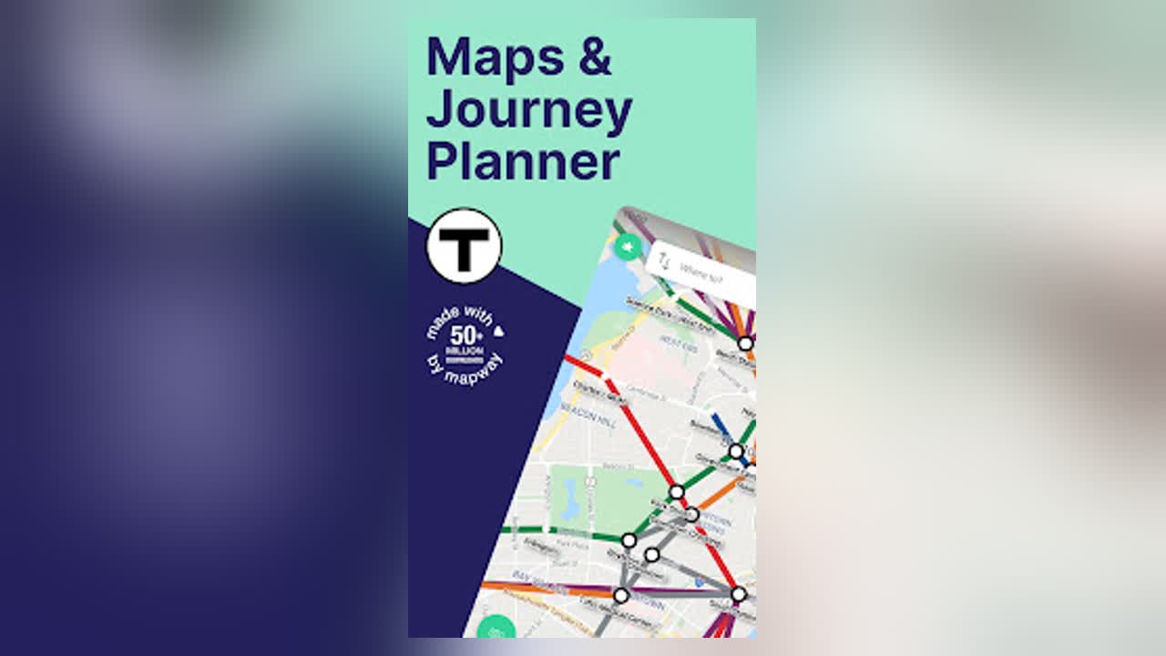
Boston T Map & RoutingIntro: Boston T Map & Routing is a transit navigation app for commuters and visitors using Boston’s MBTA subway network. It combines a clear interactive T map with route planning, station train times, and step-by-step journey guidance, helping riders understand where to board, change lines, and leave the system. Users can look up nearby stations, save useful locations, and review fares or travel information before heading out. The standalone Boston app also directs users toward Mapway’s broader multi-city service, making it useful for people who want Boston-focused planning while preparing for that transition.